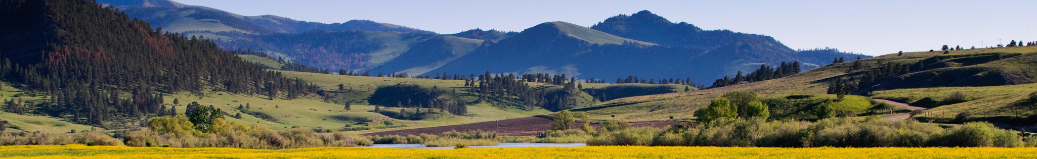
Hiking Trails in the Missoula Area

Longer Hikes
Mission Falls (48 Mi. from Missoula), Moderate Level, 3.6 Miles one-way
Heart Lake Trail (78 mi. from Missoula), Easy Level, 2.42 Miles one-way
Holland Falls (78 Mi. from Missoula), Medium Level, 1.5 Miles one-way
Blodgett Canyon to the Waterfall (51 Mi. from Missoula), Easy Level, 3.5 Miles one-way
Mill Creek Canyon (46 Mi. from Missoula), Medium Level, 35-50 Minutes one-way
St. Mary’s Peak in the Bitterroots (42 Mi. from Missoula, Medium Level, 3.13 Miles one-way
Ninepipe National Wildlife Refuge (40 Mi. from Missoula), Easy Level, 8.7 Miles one-way
Kootenai Canyon (29 Mi. from Missoula), Medium level, 19.4 Miles roundtrip
Lolo Peak (21 Mi. from Missoula), Medium Level, 13 Miles roundtrip
Stuart Peak (10 Mi. from Missoula), Medium Level, 18.5 Miles roundtrip
Shorter Hikes
The M, Medium Level, 1.2 Miles roundtrip
Waterworks Hill to Peace Park, Easy Level, .6 Miles roundtrip
Blue Mountain, Easy-Medium Level, Distance Varies
Maclay Flats, Easy Level, 1.7 Miles roundtrip
Mt Jumbo (The L), Easy Level, 1.3 Miles roundtrip
Pattee Canyon trail: Crazy Canyon, Easy-Medium Level, 2.9 Miles one-way
Kim Williams Trail, Easy Level, 4.2 Miles one-way (can turn around at any point)
Rattlesnake Trail, Easy Level, 9-33.9 Miles one0way (can turn around at any point)


